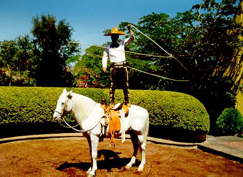
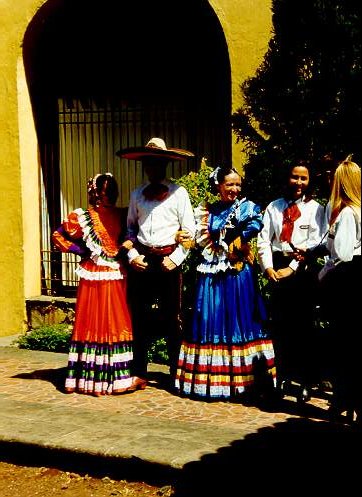
Mexico
The extreme coordinates that delimit Mexico are:
 South:
14° 32´ 27´´ latitude north, in the mouth of the Suchiate
River, bordering with Guatemala.
North:
32° 43´ 06´´ latitude north, at Monument 206, bordering
with the United States of America.
East:
86° 42´ 36´´ longitude west, at the southeastern edge
of Isla Mujeres.
West:
118° 27´ 24´´ longitude west, at Punta Roca Elefante
in Isla de Guadalupe, located in the Pacific Ocean.
|
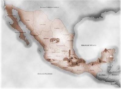
Land Area
México's land area covers 1,964,375 sq.km, of
which 1,959,248 sq.km are continental and 5,127 sq.km are made up of islands.
Borders
The Mexican Republic shares a total of 4,301 km of borders with the United States
of America, Guatemala and Belize, which are distributed as follows:
The border with the United States of America is 3,152
km long, stretching from Monument 258 northwest of Tijuana to the mouth of the
Río Bravo (known as the Río Grande in the United States) in the
Gulf of México. The country's northern border states are Baja California,
Sonora, Chihuahua, Coahuila, Nuevo León and Tamaulipas.
The border with Guatemala and Belize is 1,149 km long. The country's southern
and southeastern border states are Chiapas, Tabasco, Campeche and Quintana Roo.
Coastlines
México's coastlines are among the longest in the world and stretch for
a total of 11,122 km, not including island coastlines.
Exclusive Economic Zone
The area covered by México's exclusive economic zone amounts to 3,149,920
sq. km.
Population: 97 483 412 Habitants (2000)
 |
 |

|
|

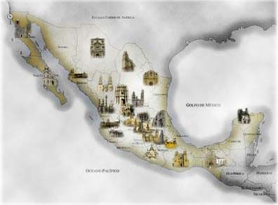
Mexico City
now ranks as the largest city in the world. Once called Tenochtitlan, the
Aztec capital city was built on a one-square mile island in an enormous
shallow lake. By the early 1500's it was the capital of a military empire
that stretched from Texas to Honduras. The Spanish crown, led by Hernan
Cortes, conquered the Aztec Empire in 1521. It was not until the early 1800s
that Mexico began its long, hard quest for independence - which it won in
1821.
|
 |

|
 |
|
|
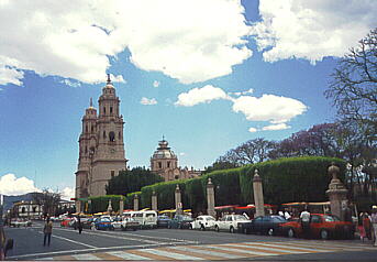
The zocalo, or central plaza, is the world's largest
square and Mexico City's main historic district. A whirlwind of history
can be discovered in the district's museums, hotels, cathedrals, and public
buildings. One mile to the north is the Tlatelolco Reforma and Chapultepec
Park. Once housing the historic Aztec marketplace, it is now home to the
Plaza of Three Cultures, depicting the three dramatic eras of Mexico City's
evolution.
|
 |
 |
 |
|